Enacted Cartography is a methodology devised to test the hypothesis that greater site-specificity results from a process wherein the designer is actively engaged with site measure and mapping. It involves the active extraction of spatio-temporal data through the designer’s direct engagement with the site, an engagement which is augmented by the instruments and activities of measurement. Enacted Cartography positions the map-maker as an ‘insider’ — to use Denis Cosgrove’s conception of the term — for this methodology recognises that site mapping is not merely an abstraction upon which future designs are based, but rather is itself an act of inhabitation.
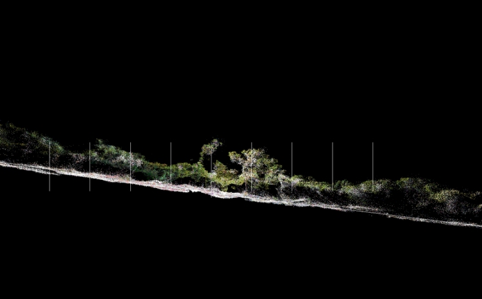
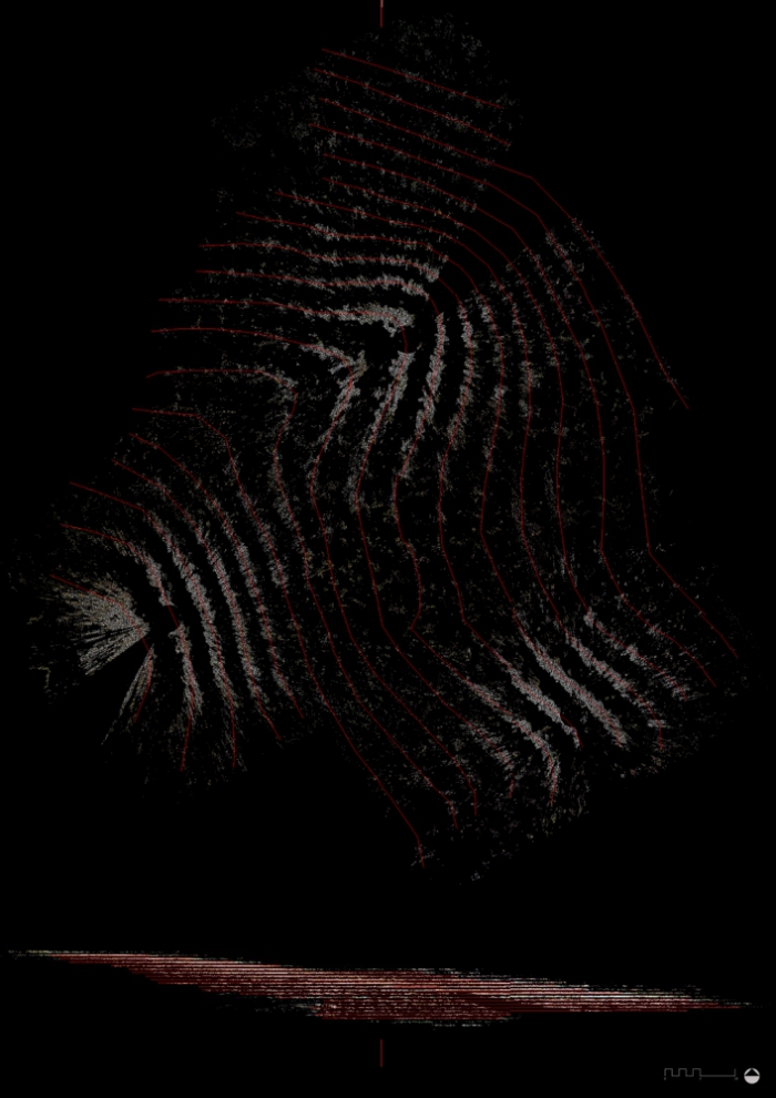
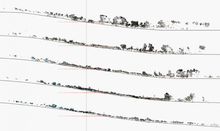
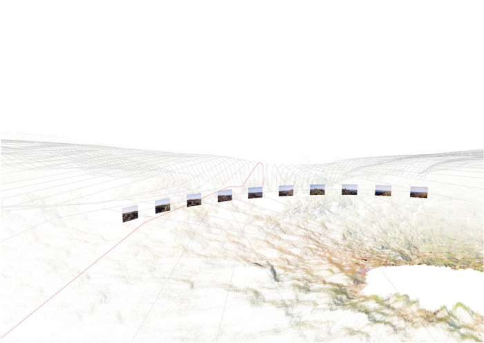
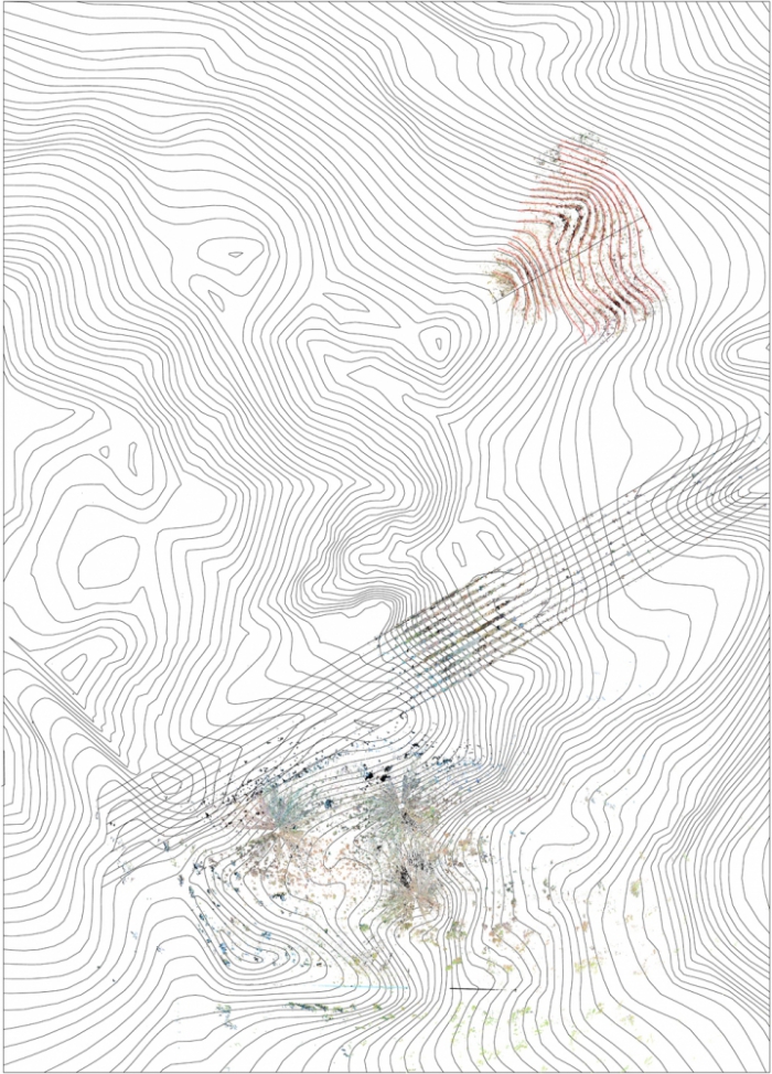
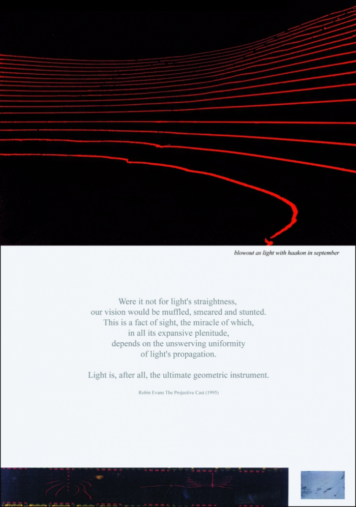
Rather than deferring the act of land measurement to others, Dr Weir conducted his own surveys of Point Henry using a range of devices: Real Time Kinematic Global Position Systems (RTK GPS) were employed in developing topographic maps (contours); Laser levellers were projected at night to create the “Earth as Light” photographic artworks; Terrestrial Laser Scanners (in collaboration with Spatial Sciences at Curtin University) mapped the vegetation and landform and were abstracted by Ian for the series of point cloud cartographic works such as “Before and After the Fire” and “Heathprint”. In “Horizonal” all the techniques above are combined with photography via georeferencing techniques.